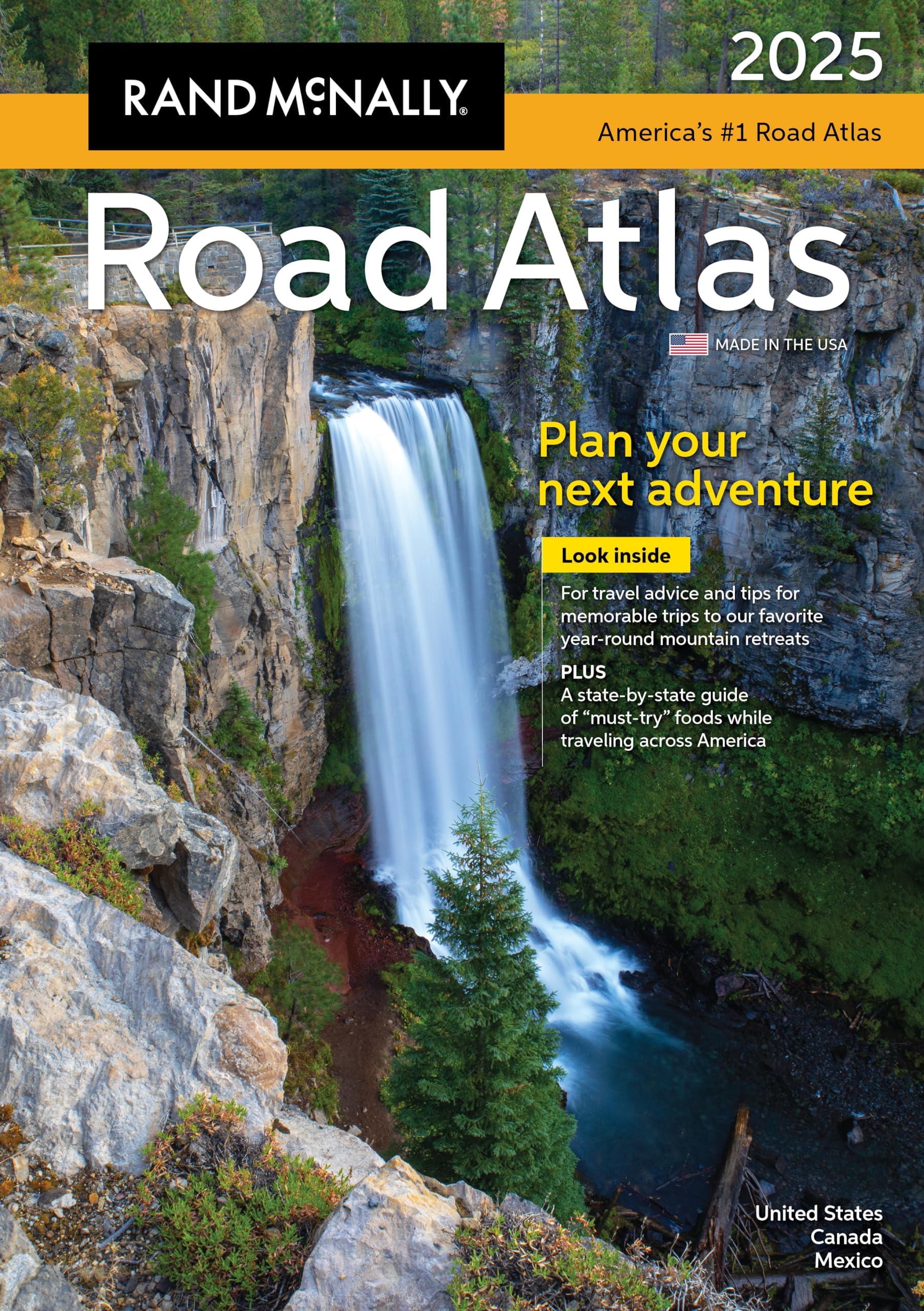
Rand McNally 2025 Road Atlas: United States, Canada, Mexico (Rand McNally Road Atlases)
Product ID: 619639958
Buy anything from 5,000+ international stores. One checkout price. No surprise fees. Join 2M+ shoppers on Desertcart.
Desertcart purchases this item on your behalf and handles shipping, customs, and support to Vietnam.
The Rand McNally Road Atlas has been the essential, trusted tool for road travelers for more than 100 years. This updated 2025 edition contains maps of every U.S. state and Canadian province, an overview map of Mexico, and detailed inset maps of 375 cities and 28 national parks. Road construction and conditions contact information for every state and province is conveniently located above the maps. The atlas also contains a Mileage and Driving Times Map showing distance and approximate driving times between hundreds of cities. Additional Features: - Rand McNally presents our editor's favorite year-round mountain retreats, with travel advice and tips from places to stay, family activities, and where to eat. - A state-by-state guide of "must-try" foods worth a road trip detour. - Tell Rand! As much as we work to keep our atlases up to date, conditions change quickly and new construction projects begin frequently. If you know of something we haven't captured in our atlas, let us know at [email protected]. - Tourism websites and phone numbers for every U.S. state and Canadian province on map pages. - Made in the USA. Product Details: Dimensions: 10 7/8 x 15 3/8. Review: Excellent tool - This is an up-to-date version of a Road Atlas which I have used for years. I do like to get a complete picture of where I am going, and therefore like to use an Atlas in addition to Phone maps. Review: Up to date, and a great tool for planning trips. - I love my new Atlas. I take lots of driving trips, so the Atlas is always a great tool for trip planning. I get tired of trying to look at maps online. The Atlas is up to date and very easy to use. I am appalled at the people today that don't know how to read a map. I use google maps on my phone, but on a recent trip out west, I relied heavily on my Atlas. There's just something about being able to look at a real map in my hands.


| Best Sellers Rank | #180,204 in Books ( See Top 100 in Books ) #221 in United States Atlases & Maps (Books) #298 in Maps (Books) |
| Customer Reviews | 4.7 out of 5 stars 783 Reviews |
L**S
Excellent tool
This is an up-to-date version of a Road Atlas which I have used for years. I do like to get a complete picture of where I am going, and therefore like to use an Atlas in addition to Phone maps.
A**R
Up to date, and a great tool for planning trips.
I love my new Atlas. I take lots of driving trips, so the Atlas is always a great tool for trip planning. I get tired of trying to look at maps online. The Atlas is up to date and very easy to use. I am appalled at the people today that don't know how to read a map. I use google maps on my phone, but on a recent trip out west, I relied heavily on my Atlas. There's just something about being able to look at a real map in my hands.
E**D
Perfect for a road trip
Easy to read, it's show more information than a google maps like rest stops and inportant road exits on were you find gas, food and lodge. So you can plan in advance on were to stop. The best part is you get a classic map in a manegable book and not need live with the drama to deal with a giant piece of paper that always get broke on each folded corner.
J**G
Great navigating tool! Tried and true!
I can't do without my tried and true Rand McNally Road Atlas. Have purchased these for years. I like to see the bigger picture of where I am going not just the dashboard map. Comes in handy when encountering a roadblock showing you alternative routes. I use it to plan trips, highlight points of interest and plot mileage. The introduction also has suggested points of interest that you may not have thought of.
A**R
Very nice
This is a very nice Atlas with good detail and good color. It is compact and easy for travel. However, the print was smaller than I expected, and was difficult for me to see, even with prescription glasses on. I will be going back to the larger, spiral bound one. If I were younger, this is the one I would use.
R**G
Great supplement to gps apps
Hard to find in stores. Sometimes a real map is helpful for finding travel alternatives
R**E
It is as advertised
Just what I expected
F**J
Nice to keep in the car
If you find yourself several states away from your home turf and enjoy traveling on back roads this will be a life saver. When your nav system can't see you it's still possible to figure out where you are. For those of us with older eyes being able to place your location in context to a destination a few hundred miles away provides piece of mind. It's not a leather bound hardcover so it needs to be handles with reasonable care.
J**T
Genauigkeit
Super Atlas, sehr zu empfehlen!
A**.
Definitiva
Il tuo atlante stradale USA defintivo Immancabile per i tuoi viaggi sulle strade americane
R**.
No es un atlas completo
Cuando lo adquirí, busqué un atlas de carreteras para los Estados Unidos y Canadá. Canadá no viene completo : sólo las provincias que hacen frontera con Estados Unidos. Ni siquiera Quebec viene completo !
S**D
Excellent maps and easy to use
Always a good reference to have, either for trip planning or to keep in the car when travelling, comprehensive and easy to use.
M**B
Tiny text
Unfortunately barely legible the text is so small
Trustpilot
2 months ago
3 weeks ago